Overview
This project aims to create opportunities for improving the land productivity and profitability, and for helping farmers to increase their incomes in Bangladesh and India.
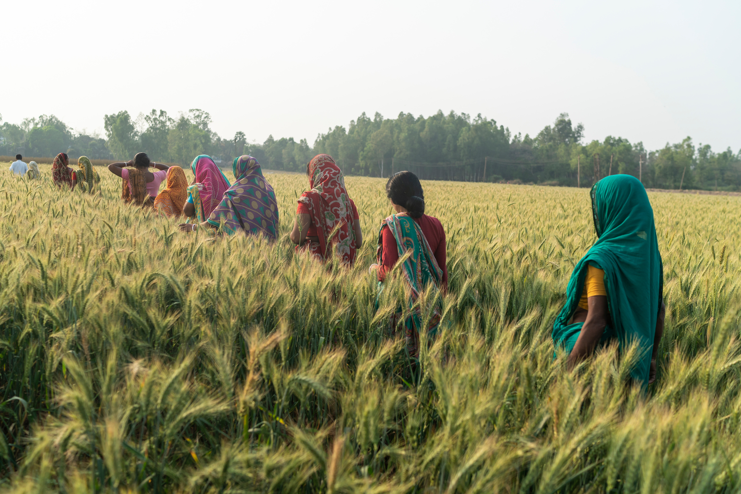
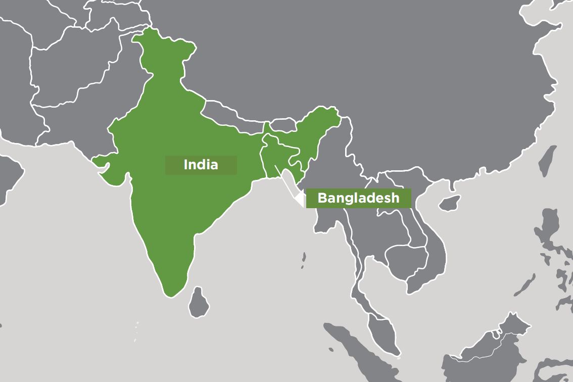
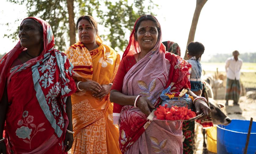
The coastal zones of Bangladesh and West Bengal in India are home to millions of the world’s poorest and most vulnerable people, about 65% of whom live below the poverty line.
The people of the coastal zone depend mainly on agriculture, the productivity of which is low due to low-yielding, late-maturing, traditional varieties of rice during the wet season while much of the land lies fallow during the dry season.
Opportunities exist for intensification of cropping through efficient use and optimal management of fresh surface water and groundwater resources during the dry season, through improved polder water management, careful planning of the crop calendar, and improved agronomic practices that maximise water productivity.
Overall, to achieve the expected outcomes this project is focusing on sustainably increasing cropping intensity and productivity in the region, particularly in the dry season, through integrated soil, water and crop management.
Expected project outcomes
- Establishing several suitable and profitable cropping patterns based on research
- Identifying highly profitable cropping patterns for Bangladesh sites (like sunflower-rice-rice, maize-rice-rice, and pumpkin-rice-rice)
- Sharing knowledge that presents higher yields and greater profitability
- Rolling out zero tillage potato cultivation technology with enhanced profits.
Summary of outcomes to date
2021-22
Significant progress has been made in the characterisation of the coastal zone using remote sensing images, and development of apparent salinity map by integrating electromagnetic survey data with Sentinel-2 images. For risk analysis, latest IPCC’s climate data were downloaded and processed. Crop modelling was focused on development of models for potato and Aus rice and evaluation of APSIM at new sites. Farm typology survey of about 200 households in the regions has been completed and major farm types were identified. Six additional sites have been selected for experiments and demonstration which covered 74.6 ha involving 187 farmers in the Kharif season, and 125.7 ha involving 1,298 farmers in the Rabi season. The experiments were on agronomic and water management aspects of some crops. Out-scaling and demonstration were set up for Aus, Aman/Kharif rice, Boro rice, ZT potato, maize, sunflower, garlic, watermelon, onion, pumpkin, and green gram. Overwhelming majority of the farmers gained economic benefit. Late sowing and water logging damage in Rabi season resulted in no economic benefit for some farmers in Bangladesh. It is evident that our intervention is having significant economic and social impacts as many farmers have already adopted the demonstrated technologies. The project has elevated the role of women in their families and social structures. The Bangladesh Minister of Agriculture and Deputy Australian High Commissioner to India visited project activities. Extensive community activities were organized in the project sites. The achievements of the project featured prominently in national newspapers and broadcasted in TV channels in Bangladesh.