Soil and Land Management

Better soil and land information for improving PNG’s agricultural production and integrated land use planning – building a revitalised PNGRIS2

Image
Papua New Guinea, man working on soil
Project code
SLAM/2019/106
Budget
AUD 2,800,002
Research program manager
Dr James Quilty
Project leader
Mr Peter Wilson
Commissioned organisation
CSIRO
Duration:
OCT 2022
2024
AUG 2026
Project status
Legally committed/Active
Share this page

Overview

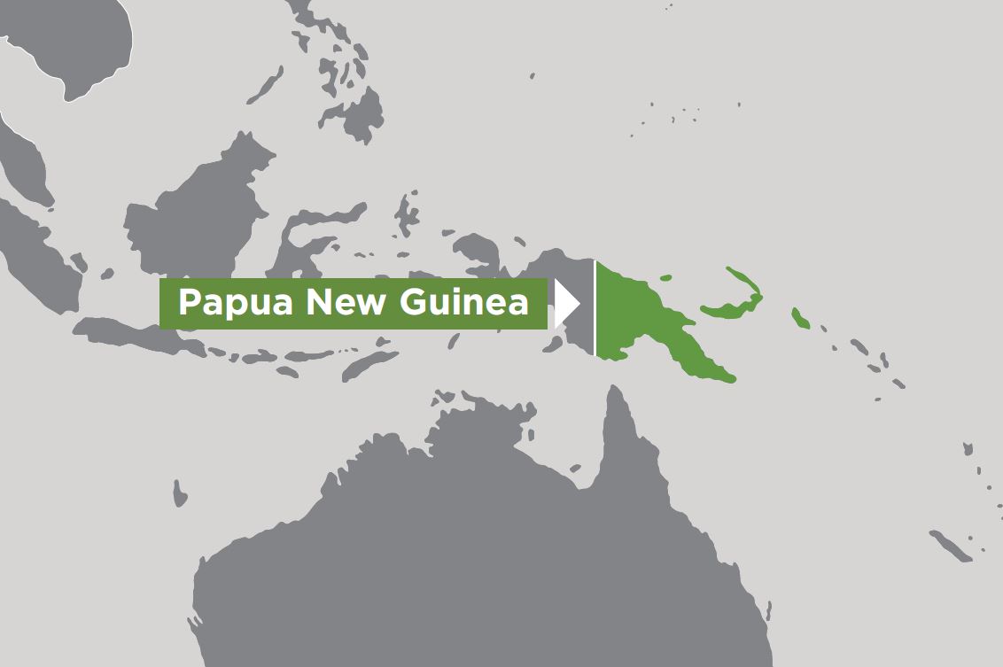
This project aims to revitalise the Papua New Guinea Resource Information System (PNGRIS) to deliver improved soil and land data for step-change advancements to the country’s integrated land use planning (LUP) capability.

It will focus on the development, and integration of the revitalised PNGRIS2 with an initial aim to demonstrate the value proposition of such a system to the PNG Government, the agriculture sector and international agencies working in PNG.

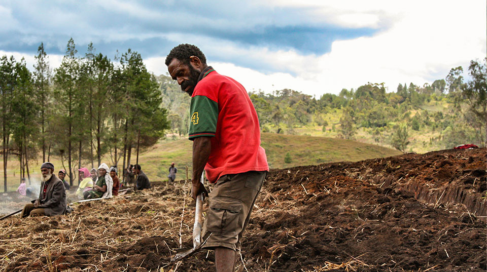
Case studies will be developed in the Morobe Province, a priority area for the PNG Government and one of the fastest growing provinces in the country (Bank of PNG), particularly around opportunities for further development of coffee, forestry, and other agricultural industries.

Success means the revitalised system is guided by, and dovetails with, Papua New Guinea’s (PNG’s) development policies and enabling strategies, is supported by all rural land use and planning sectors, is well-resourced after the life of the project, and has enduring impact to the country’s development.

Expected project outcomes and activities

  • The PNG Government and other stakeholders supporting and using the revitalised PNGRIS2 as an indispensable piece of national information infrastructure and centrepiece of the nation’s integrated land use planning and management capability.
  • A better understanding of soils at improved spatial and temporal scales.
  • Capacity building through training delivered by CSIRO and other partners such as UniTech.
  • Enabling innovation in the data and information systems area, including through new ways to capture, analyse and disseminate soil and land resource information that meets the needs of a range of users in PNG and overseas.
Map
Image
Map of Papua New Guinea
Key partners
Coffee Industry Corporation
Commonwealth Scientific and Industrial Research Organisation (CSIRO)
Department of Agriculture and Livestock
GrowPNG
National Agricultural Research Institute
Papua New Guinea Forest Research Institute
Papua New Guinea University of Technology