Overview
This project aims to analyse the peat hydrological functioning of a restoring peatland and establish a comparison site in the adjacent, more intact tropical peat swamp forest. Ultimately, to understand peatland hydrology in the context of fire prevention and carbon emission reduction to inform future climate-focused restoration.
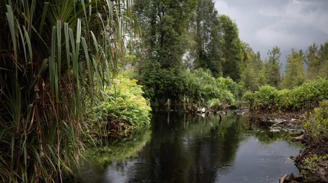
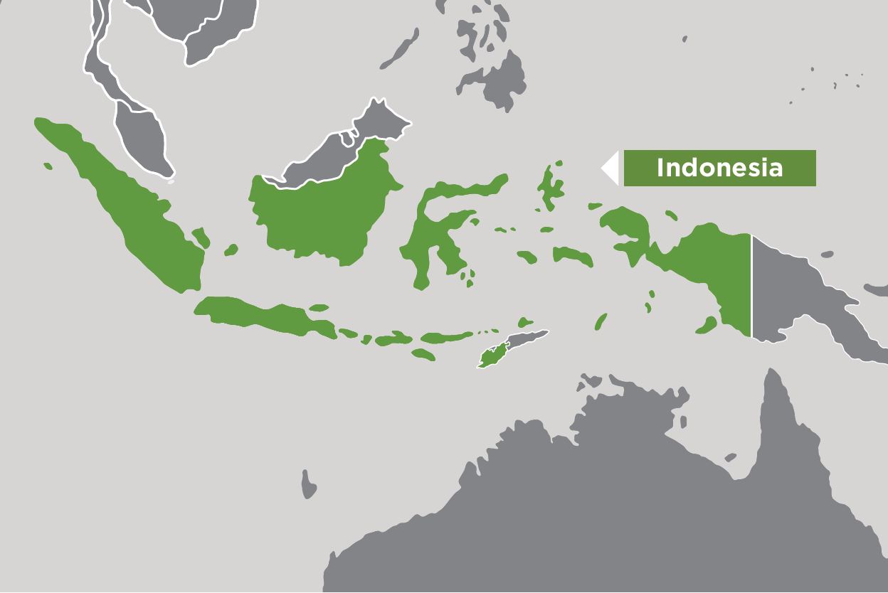
The peatlands of Indonesia are a globally important terrestrial carbon resource and are critically important for biodiversity provisioning and water cycling. Broad-scale degradation of Indonesian peatlands, particularly extensive drainage through canal excavation, has made peatlands prone to fires that create smoke haze over large parts of Southeast Asia and emit significant carbon into the atmosphere. Reducing the incidence of fire by re-establishing peatland hydrological functioning is critical for Indonesia's climate and economic stability and the health and well-being of the human population of the Southeast Asian region. This small research activity will use data sets generated in ACIAR project SLAM/2020/118 to understand the soil hydrological functioning of a drained, restoring tropical peatland in Central Kalimantan. Furthermore, it will build upon the research architecture of previous projects to expand current peat hydrological monitoring to a nearby, intact peat forest site by procuring and installing an additional suite of soil hydrology measurement equipment. While primarily focused on biophysical research for peatland ecological restoration, this small research activity also centers on capacity-building as a core objective. Building upon the scientific success and partnership collaborations of project SLAM/2020/118, in this project, we will install a suite of peat hydrological monitoring systems in a relatively intact peat forest area, replicating the existing experimental design of the new Chameleon arrays at the Mawas flux tower site. In doing so, the comparison sites will inform future activities in ACIAR project SLAM/2022/104 Gambut Baru at the planned Mawas Forest Flux Tower site, whereby understanding similarities and differences in soil hydrology will inform hypothesis development for future research.