Water

Quantifying crop yield gaps across the Indo Gangetic Plain (IGP) from new perspectives – production, farmer profit and sustainability of water use

Image
Project code
WAC/2018/169
Program
Budget
AUD 248,908
Project leader
Dr Donald Gaydon
Commissioned organisation
CSIRO
Duration:
FEB 2019
DEC 2020
Project status
Concluded
Share this page

Overview

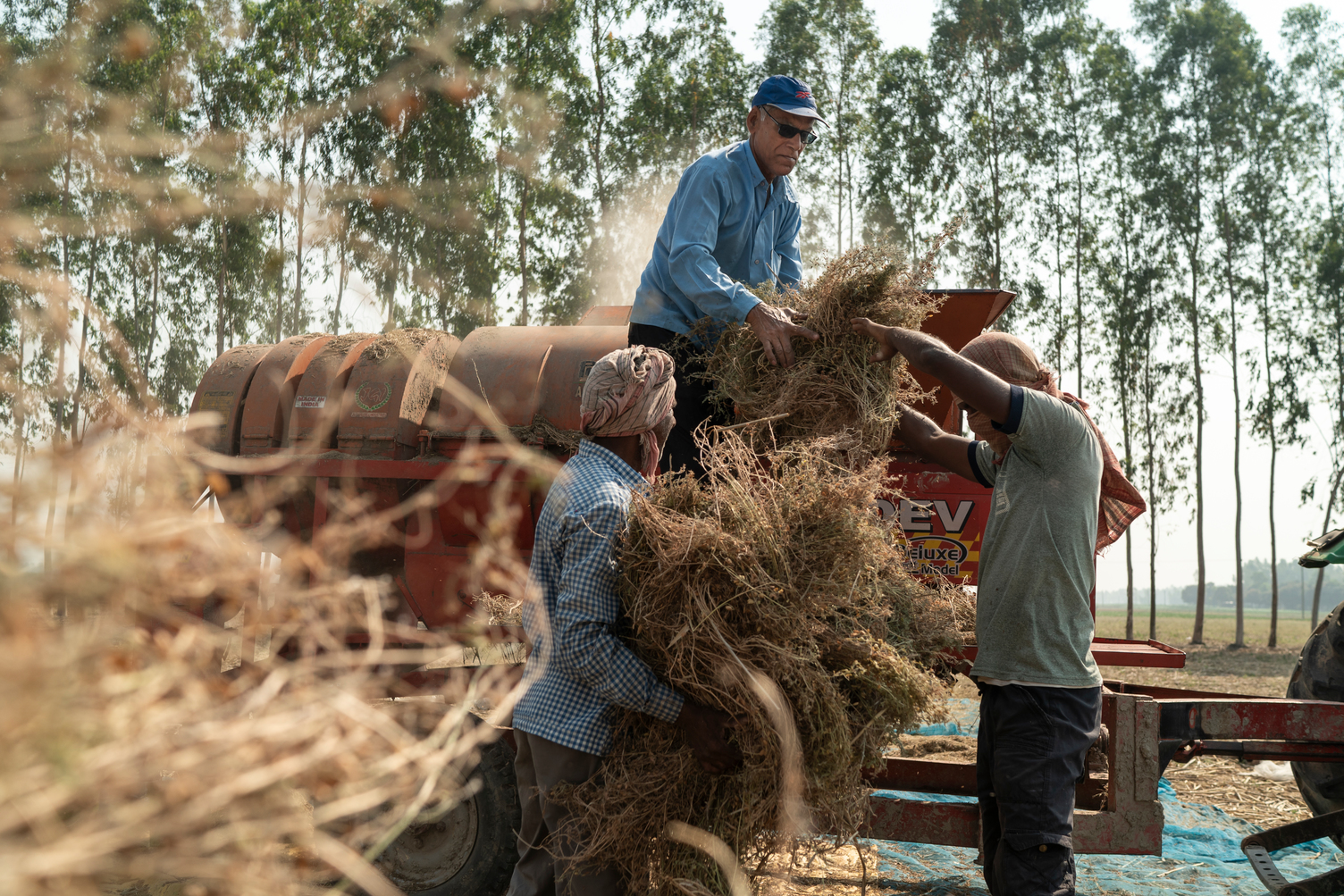
This project aimed to quantify current yield gaps (physiological, economic, and sustainable water) for major food crops at sentinel sites across the IGP, and make preliminary assessments on the effects of conservation agriculture-based system intensification (CASI) technologies, future climate scenarios, and some economic variables.

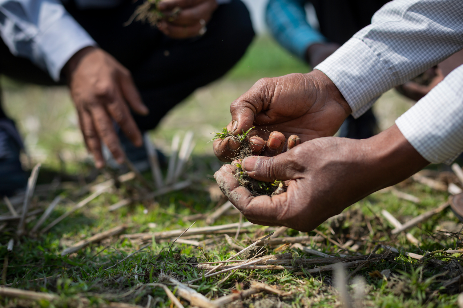
We consider this project to be a demonstration or ‘proof of concept’. In this project we will begin the process of determining these different crop yield gaps across the IGP, and understanding how they are influenced by geography, resource dynamics (climate and water), economic settings, and future climate outlooks. We will employ a combination of cropping systems modelling, economic analysis, farmer engagement, and data-sourcing. 

This project is part of the DFAT/ACIAR-funded Sustainable Development Investment Portfolio (SDIP) program.

Expected outcomes

  • Determining the different crop yield gaps across the IGP, and gaining greater understanding on how they are influenced by geography, resource dynamics (climate and water), economic settings, and future climate outlooks.
  • Facilitating a much broader analysis of the whole region in a subsequent project, bringing in the latest GIS, satellite and remote-sensing technologies, together with the latest economic and climate forecasts, to provide robust insights for regional policy-makers and other stakeholders.
  • Synchronising this work with the major international initiative - the Global Yield Gap Atlas (GYGA)
Key partners
International Maize and Wheat Improvement Center (CIMMYT)
CSIRO
Documents