Research need
This small research activity aims to explore, describe and demonstrate the roles and utility of aerial remote sensing data products to fill hydrological data gaps and support sub-basin agricultural water management in low/middle income countries. This includes determining the applicability of data products at the spatial and temporal scales, relevant to the range of decisions being made (e.g., local and sub-basin).
Agriculture often consumes vast amounts of water and achieving sustainable withdrawals without detriment to the environment and other societal benefits, is a key aim of water accounting, smart water monitoring and water regulation. Throughout Southeast Asia there are many smallholder farmers and/or irrigation scheme managers making individual decisions about water extraction and use of shared water resources. Good management and regulation at basin and sub-basin levels is needed to ensure sustainable water resources management. However, in many areas current water management and irrigation practices are leading to unsustainable water consumption, declining water quality and agricultural contaminants (pesticides and nutrients) of water sources – issues threatening the sustainability of the water resource and communities depending on it.
The investment required and capacity to operate in situ monitoring infrastructure, particularly for groundwater, can be prohibitive. Consequently, there is a knowledge gap of detailed and robust data upon which to generate water balances and in particular to conduct water accounting exercises. On basin and larger scales, inroads are being made to address this gap by harnessing the latest in big data and applying remote sensing and earth observation data products. However, the potential for such data and associated products to assist with sub-basin scale water management, for the benefit of smallholder farmers, is not known.
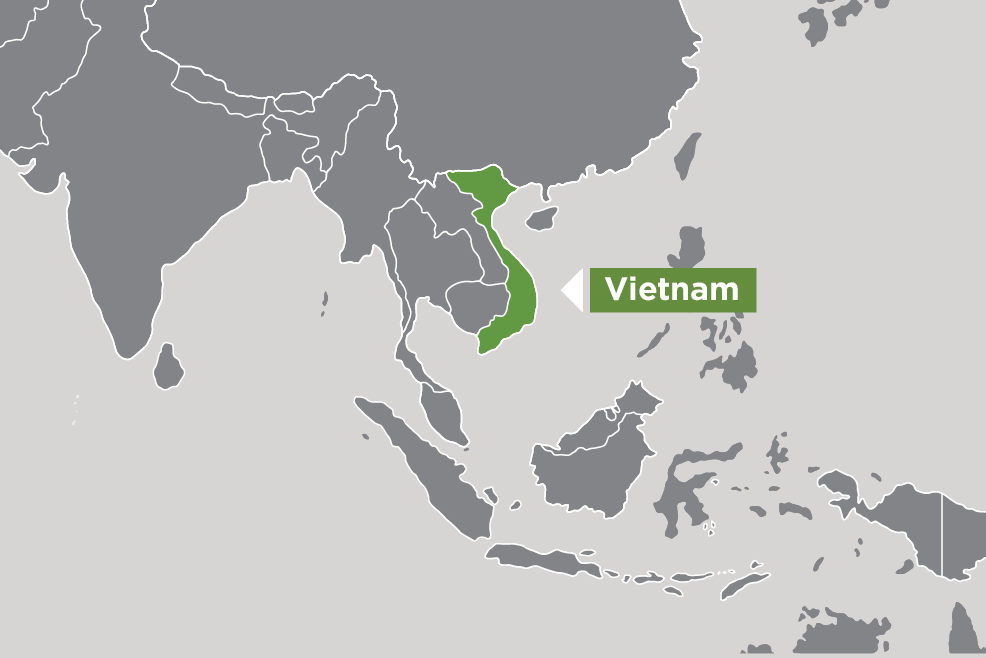
This project will assess the utility of freely-available, or low-cost, remotely-sensed data to provide relevant timely hydrological information for agricultural water management – including use of tools such as water accounting. The project will identify existing and emerging remote sensing data products, derived-hydrological information and associated water management tools, and describe their applicability to decision-making by agriculture and water decision-makers in Vietnam, as a case study for Southeast Asia. The research will cover all scales from basin to local (e.g. sub-basin, agricultural district), with a specific focus on the smallest scale at which water managers operate.